NOAA: very strong El Niño expected · 2026–27
El Niño 2026–27: What It Means for Flooding Where You Live
What this winter's El Niño usually means for your region, what to do before the wet season, and the flood insurance timing most people learn too late.

Reviewed by Aaron J. Farmer, licensed flood specialist CA License #0L75450 · Last reviewed October 5, 2026
NOAA expects this winter’s El Niño to be one of the strongest on record. El Niño gets talked about as a California story, but its effects reach across the country, and the wettest signal this year runs along the southern half of the U.S. from Texas to the Carolinas. This page covers what El Niño usually means for your region, what to do before the wet season, and the flood insurance timing that catches people out every year.
Short on time?
Find your area in the region-by-region table, or jump to the prep checklist. You can also print the one-page version.
Where things stand
NOAA’s Climate Prediction Center has an El Niño Advisory in effect. In its 10 September 2026 discussion, it put the chance of a very strong El Niño this fall and winter at greater than 90%. It also gave a 75% chance that October–December exceeds every El Niño on record since 1950. Ocean temperatures in the key monitoring region were running 1.8°C above normal in August.
NOAA is careful to say that El Niño’s effects are “a matter of probability, not certainty.” Its typical impacts show up anywhere from 40% to 80% of the time, depending on the region. Stronger events tend to produce stronger and more reliable signals, which is why this one is getting attention early. On 21 September, California’s governor declared a statewide emergency to prepare for it.
Don’t read too much into the fact that other states haven’t done the same. Across the Gulf Coast, the Southeast and Texas, heavy-rain flooding is already part of a normal year, and emergency managers there plan for it every season. El Niño doesn’t create that risk. It adds to it, and the regions that flood most often are also the ones where NOAA’s wet signal is strongest.
What El Niño usually means where you live
NOAA’s summary of a typical El Niño winter: the southern tier of the U.S., “from California to the Carolinas,” tends to be cooler and wetter than average, while the Pacific Northwest and the northern states tend to be warmer and milder. NOAA’s seasonal outlook issued 17 September follows the same pattern. It calls the wet signal “across the southern and central CONUS, and extending northward along the Atlantic coast into New England” the dominant precipitation signal this fall and winter.
| Region | What El Niño usually brings | Our state guides |
|---|---|---|
| Gulf Coast and Southeast | The most dependable wet signal in the country. Historically, wetter-than-average winters along the Gulf Coast from Texas to Florida in more than 80% of El Niño events over the past century. NOAA’s current outlook puts the odds of an above-normal winter as high as 70–80% over southern Georgia and northern Florida. Flooding is already common here in a normal year. El Niño adds repeated heavy-rain events on ground that stays saturated. | Florida, Georgia, Alabama, Mississippi, Louisiana, South Carolina, North Carolina |
| Texas and the southern Plains | A wet tilt, from the Four Corners east across the southern Plains, with above-normal odds up to 40–50%. The main danger is flash flooding: heavy rain on hard or saturated ground that turns streets and low crossings into rivers in minutes. | Texas, Oklahoma, Missouri |
| California and the Southwest | Strong El Niños have historically brought above-median rain to California and the Southwest. Weaker ones are a coin toss. Atmospheric rivers, desert flash floods and runoff from wildfire burn scars are the main risks. El Niño also boosts eastern Pacific hurricane activity, and the remnants of those storms can bring flooding rain inland. California has its own El Niño guide with a 43-county sandbag directory. | Arizona, Nevada, New Mexico, Colorado |
| Mid-Atlantic and Northeast | NOAA’s current outlook extends the wet signal north along the Atlantic coast into New England. Coastal storms, heavy rain and urban drainage flooding are the risks to watch. | Virginia, Maryland, Pennsylvania, New Jersey, New York, Connecticut, Massachusetts |
| Ohio Valley and Great Lakes | El Niño tends to tilt these regions drier, and NOAA expects that signal to stay weak this year. A drier tilt lowers the odds of a soaking winter. It does not stop a single heavy storm, or spring rain on top of snowmelt. | Ohio, Indiana, Kentucky, Tennessee, Illinois, Michigan |
| Pacific Northwest and northern Rockies | Usually warmer and milder, with a less reliable dry signal. Fewer big storms is the most likely outcome, not a guarantee. | Washington, Oregon |
| Hawaii | El Niño often means lower-than-average rainfall from late fall through early spring. But it also favors more hurricane activity in the central Pacific, the basin that threatens Hawaii, and flash flooding from individual storms remains possible. | Hawaii |
Not sure which part of the map you’re in? Every region has the same baseline: FEMA’s own data shows that floods happen everywhere, including outside mapped high-risk areas. See the three things most people get wrong below.
What about hurricanes?
It depends which ocean you’re near. NOAA says El Niño “favors stronger hurricane activity in the central and eastern Pacific basins, and suppresses it in the Atlantic basin.”
- Pacific: more active. NOAA’s 2026 outlook gave the eastern Pacific a 70% chance of an above-normal season, with 15–22 named storms expected. NOAA links El Niño to “large increases” in storm activity in the eastern and central Pacific. That matters for Hawaii, and for the Southwest and Southern California, where the remnants of Pacific storms can bring flooding rain inland. The season runs through 30 November.
- Atlantic: usually quieter, but not off. El Niño increases the wind shear that tears developing storms apart, and NOAA gave the 2026 Atlantic season a 75% chance of being below normal. The season still runs through 30 November, and NOAA notes that inland rainfall is a major cause of hurricane damage. A quiet season only takes one storm to become a bad one for your street.
Photograph everything before the wet season
The most useful hour you can spend before a flood is making a photo and video record of your home. After a loss, it is what an adjuster works from.

- Photograph every room from the corners, then walk through on video with closets, cabinets and drawers open. Narrate as you go.
- Include the garage, basement, attic and storage areas, which is often where flood damage starts.
- Take close-ups of brand, model and serial numbers on appliances, electronics and anything valuable.
- Upload it to the cloud, along with your insurance declarations page and your agent’s and insurer’s contact details.
Three things most people get wrong about flood risk
1. “I’m not in a flood zone, so I’m fine.”
According to FEMA, from 2014 to 2024 nearly one-third of NFIP flood claims (29%) came from outside high-risk flood areas. FEMA also reports that of the more than $8 billion in flood damage to U.S. homes and businesses in 2024, $3.8 billion happened in communities that aren’t considered high-risk. Heavy rain overwhelms drainage wherever it falls. A low-risk zone is lower risk, not no risk.
2. “My homeowners policy covers it.”
Most homeowners and renters policies do not cover flood damage. Flood coverage is a separate policy, from the National Flood Insurance Program (NFIP) or a private flood insurer. It also matters what it covers: many people carry building coverage only, because that is what their lender required, and have nothing for their belongings.
3. “I’ll buy it when the storms are in the forecast.”
A new NFIP policy generally takes 30 days to go into effect. The 30 days count from the day you buy, not from the storm. There are narrow exceptions, such as a policy bought when you close on a home purchase, or after a flood map change. Private flood policies are often faster: as little as 7 days with some carriers, and commonly 10. Neither will cover a storm that is already on the radar. The decision belongs in a dry week.
What flood insurance costs, and what it pays
Flood insurance in a low- or moderate-risk area is usually far cheaper than people expect, and prices vary a great deal by state and by property. Our flood insurance cost by state guide shows typical ranges. On the other side of the ledger, FEMA says the average NFIP claim payment is about $68,000, and that just one inch of water in an average-size home can cause roughly $25,000 of damage. For a comparison of the two kinds of cover, see private flood insurance vs. the NFIP.
Where to get sandbags
Sandbags are almost always local. Counties, cities, fire stations and public works departments hand them out, often free, and often only once heavy rain is forecast. Many sites give you the sand and bags but leave the filling to you, so bring a shovel and gloves. To find yours:
- Check your county emergency management or city public works website, or call your local fire department’s non-emergency line.
- Call 2-1-1, the free, confidential helpline for local services.
- In California, use our county-by-county sandbag directory.
Fill bags about half full. Lay them like brickwork with the seams staggered, and tamp each one down. Sandbags redirect shallow, moving water. They won’t keep out deep standing water, and they should never delay an evacuation.
Your El Niño flood prep checklist
This week, while it’s dry
- Look up your address on FEMA’s Flood Map Service Center. Remember that low risk is not no risk
- Photograph and video every room, and back the files up to the cloud
- Find out whether you have flood coverage, and whether it includes your belongings (contents)
- If you need coverage, buy it now. NFIP policies generally take 30 days, and private policies take about 7–10
- Check that your car insurance includes comprehensive coverage, which is what pays for flood damage to a vehicle
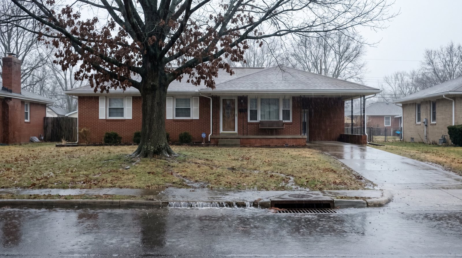
- Clear gutters, downspouts and the storm drain nearest your home
- Test your sump pump and its battery backup
Before the first big storm
- Write a household evacuation plan with two routes out, including pets and medications
- Pack a three-day kit: water, food, medicine, flashlights, batteries, phone chargers, first aid
- Keep policy documents in a waterproof bag, with copies in the cloud
- Install the free FEMA app for weather alerts at up to five locations. Wireless Emergency Alerts for flash floods arrive on most phones automatically, with no sign-up
- Know how to shut off your electricity, gas and water
- Find out where your local sandbag sites are
When a storm is forecast
- Know the difference: a flood watch means conditions are favorable for flooding. A flood warning means it is imminent or already happening
- Place sandbags at doorways, garage entries and low openings
- Move valuables, documents and electronics off the floor and upstairs if you can
- Move vehicles to higher ground
- Follow evacuation orders immediately. Turn around, don’t drown: six inches of moving water can knock you down, and a foot can sweep away a car
For more detail, see our before-a-flood guide. If the worst happens, our after-a-flood guide and claim guide walk you through what to do next.
Common questions
Which parts of the U.S. does El Niño make wetter?
NOAA says El Niño winters tend to be cooler and wetter across the southern tier of the U.S., from California to the Carolinas. The most reliable signal is along the Gulf Coast from Texas to Florida, which has been wetter than average in more than 80% of El Niño events over the past century. NOAA’s outlook for this winter also extends the wet signal up the Atlantic coast into New England.
Does El Niño mean my area will definitely flood?
No. NOAA describes El Niño’s effects as a matter of probability, not certainty: typical impacts appear anywhere from 40% to 80% of the time, depending on the region. A strong El Niño shifts the odds. It does not tell you what will happen on your street, which is exactly why people insure.
My region is supposed to be drier during El Niño. Do I still need flood insurance?
A drier tilt lowers the odds of a wet season, but floods come from individual storms, not seasonal averages. FEMA reports that nearly one-third of NFIP claims from 2014 to 2024 (29%) came from outside high-risk areas.
Does El Niño affect hurricanes?
Yes, in opposite directions. NOAA says El Niño favors stronger hurricane activity in the eastern and central Pacific, and its 2026 outlook gave the eastern Pacific a 70% chance of an above-normal season. That raises the risk for Hawaii and for flooding rain from storm remnants in the Southwest. In the Atlantic, El Niño usually suppresses hurricanes, and NOAA gave 2026 a 75% chance of a below-normal season. Both seasons run through 30 November, and one storm is enough to cause major flooding, often far inland.
How long does flood insurance take to start?
A new NFIP policy generally takes effect 30 days after purchase, with narrow exceptions such as coverage bought at a home closing or after a flood map change. Private flood policies are often faster, as little as 7 days with some carriers and commonly 10. Neither covers a storm that is already forecast.
Does homeowners insurance cover flooding?
Most homeowners and renters policies do not. Flood coverage is a separate policy through the NFIP or a private flood insurer, and contents coverage for your belongings is often a separate choice on that policy.
Sources: NOAA Climate Prediction Center ENSO Diagnostic Discussion, 10 September 2026; NOAA CPC 90-day outlook discussion, 17 September 2026; NOAA Climate.gov El Niño FAQ and “United States El Niño Impacts”; NOAA Atlantic hurricane season update, 6 August 2026; NOAA CPC Eastern Pacific hurricane outlook, 21 May 2026; NOAA Climate.gov, “Impacts of El Niño and La Niña on the hurricane season”; FEMA FloodSmart (claims outside high-risk areas, 2014–2024; cost of flooding 2024; average claim payment; waiting period); FEMA agent resources (cost of one inch of water); Ready.gov; National Weather Service. NOAA updates its ENSO outlook monthly and issues its winter outlook in mid-October. This page reflects the outlook in effect on 4 October 2026.
Get a flood quote for your property
A licensed specialist compares available private markets and the NFIP, then explains the options in plain English — including when the NFIP is the better fit.